Carbonix is collaborating with global aerial survey specialist Woolpert to assist with the rehabilitation of one of New South Wales’ oldest open cut coal mines, using cutting-edge drone and geospatial data capture technology to help in this transition.
Situated in the Upper Hunter Region, rehabilitation areas will be surveyed and modelled to identify hotspots, which could inhibit the land’s ability to regenerate and rehabilitate. The aerial data collected will be instrumental in establishing a balanced mix of grasslands capable of supporting sustainable grazing and native vegetation corridors to enhance habitat connectivity. This balance will ensure the land’s potential for productive and eco-friendly use.
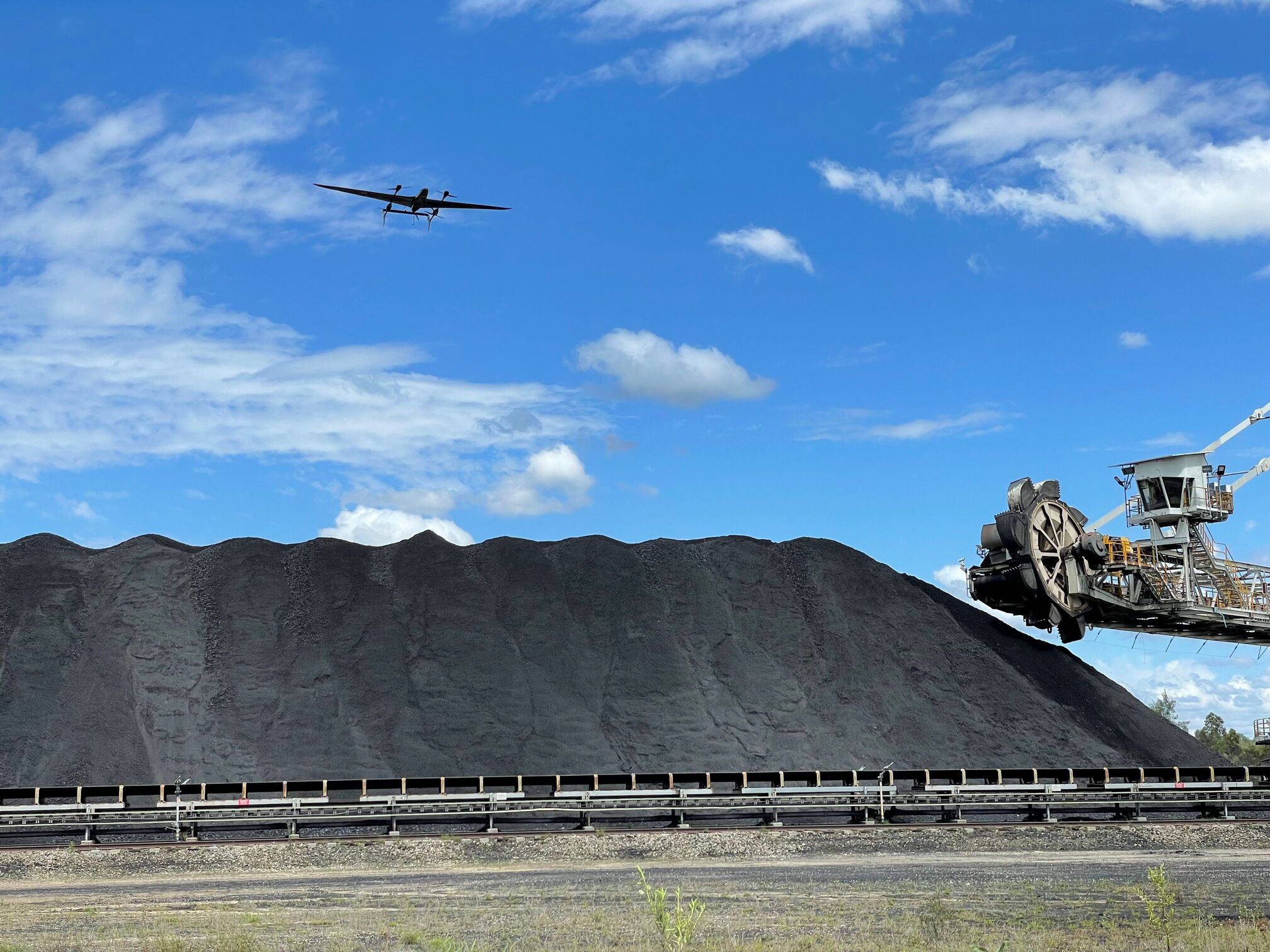
Woolpert selected Carbonix’s Volanti drone as an agile flight platform to enable data capture for hotspot monitoring. The Volanti presents a safer and significantly more cost-effective tool for areas too tight for conventional crewed aircraft, like helicopters, and too vast for multi-rotor drones. Volanti’s two-plus-hour flight time and ability to fly “low and slow” with sophisticated payloads enable the aircraft to obtain a detailed view of the area.
Carbonix CEO Philip van der Burg said the project with Woolpert is a great example of two companies collaborating to provide an innovative, cost-effective, and positive environmental survey solution through the use of long-range drones.
“This is a really exciting project because we get to witness the environmental benefits of long-range drone use, twofold: Firstly, eliminating the carbon emissions and noise of traditional aircraft and secondly providing key insights to accelerate the rehabilitation of a mine.


