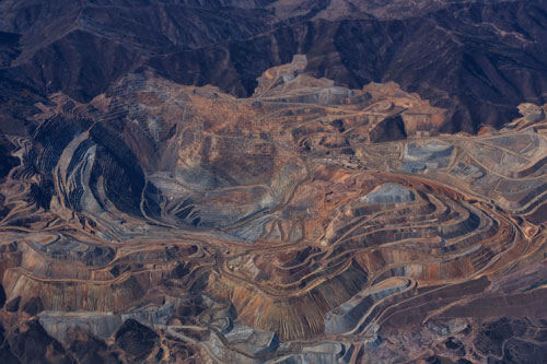
Mining constitutes a demanding environment. Due to the size, isolation and variety of activities taking place at mine sites, careful risk management is required. Equipment used in mining applications must be rugged, dependable, and have known, documented performance parameters. Conducting manned aerial surveys at mine sites is not always practical or economical – but in any case has limitations that do not apply to unmanned missions. Carbonix data capture solutions improve data accuracy, reduce downtime and reduce labour costs, resulting in more efficient operations whilst maintaining high safety standards.
Mining applications that a Carbonix RPAS can support are:

Oil and Gas facilities require regular inspections and maintenance for safety compliance, to monitor structural integrity and failure mitigation. Conventional aerial inspections with manned flights are costly, hazardous and are less accurate than autonomous drone surveys. By gathering regular and more accurate data through repeatable drone surveys, Oil and Gas companies can better understand the state of their infrastructure, maintain security and safety, and provide comparative data for future predictions and further risk mitigation.
Oil & Gas applications that a Carbonix RPAS can support are:
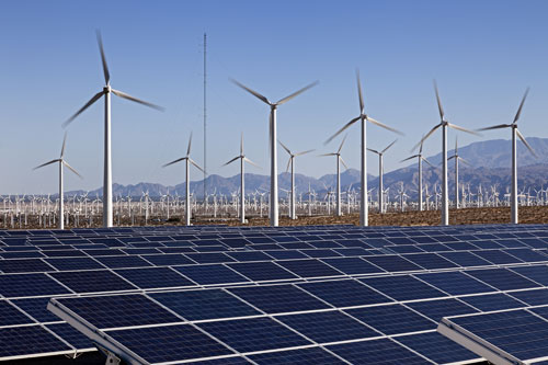
The Renewable Energy market has experienced rapid growth in the last decade accounting for over 20% of some world’s human energy use. Drone technology has been adopted far and wide in this sector as it is proven to increase data accuracy, reduce labour costs and reduce false positives. Generally, traditional infrastructure surveys are carried out locally using multirotor drones, reducing the need of climbing hazardous infrastructure unnecessarily. However, powered lift UAVs in turn can complement this technology by covering larger areas far quicker which means less down-time and real time issue identification.
Renewable energy applications that a Carbonix RPAS can support are:
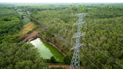
The Utilities Sector covers many kilometres of infrastructure in every country around the world. This infrastructure needs to be inspected and monitored frequently to maintain efficiency, reduce waste, and comply with both environmental and safety standards. A considerable amount of this infrastructure is located on private land where permissions may take days to obtain. Companies that have adopted drone technology for remote monitoring are able to gain access to and inspect this infrastructure in real-time with no permission needed. This greatly increases a company’s ability to highlight any issues with their infrastructure in real-time and determine the course of action required and reducing false positives.
Utilities applications that a Carbonix RPAS can support are:

Airports and drones – two words that out of context, terrify all involved. However, if used properly, drones can give airports a fast and fundamental way to observe what is going on from above and in real-time. Airports around the world run like clockwork, delays and disruptions can cost airlines and airports thousands of dollars for every minute of shutdown time. There are many factors that can shut down an airport, from foreign object detection, security breaches and emergency situations. Having a readily available Carbonix UAV at your disposal allows you to be on-scene and identify problems faster than conventional methods. A faster response reduces shut down time and normal operations can resume sooner whilst maintaining safety and operational readiness.
Airport applications that a Carbonix RPAS can support are:

Civil engineering companies using drones are already seeing the huge potential in how remote sensor technology can give them for planning, inspecting, safety and environmental compliance and for material estimations. If a Highway construction company was to mistakenly add a quarter-inch of extra material over a 15km stretch of road the final bill could be in excess of a quarter million dollars in unnecessary cost. To avoid such errors, managers are able to use precise data to give more accurate estimations and provide them with a readily available drone at their disposal. This further reduces the need for expensive manned flights and reduces labour costs.
Civil engineering applications that a Carbonix RPAS can support are: